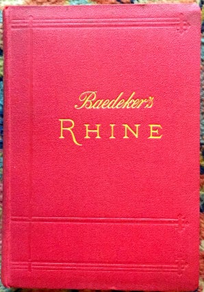
THE RHINE FROM ROTTERDAM TO CONSTANCE; Handbook for Travellers by Karl Baedeker / with 45 maps and 25 plans
Leipsic: Karl Baedeker, Publisher, 1900. Maps & plans. Fourteenth Revised Edition. Limp cloth. 16mo, red limp cloth with glt lettering & blind-stamping, illustrated with 45 maps and 25 plans of towns, xxxiv + 448 pages. A useful pre-WW I guide that appeared before so many sites in Germany were destroyed. Clean..... More


![Item #1298 DANTE IN THE CASSENTINO [Tuscan Valley Weaving Region]; Illustrated with 28...](https://borgantiquarian.cdn.bibliopolis.com/pictures/1298.jpg?width=320&height=427&fit=bounds&auto=webp&v=1494443833)